


FEATURED
-2.webp)


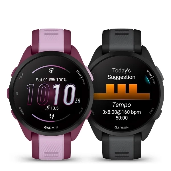
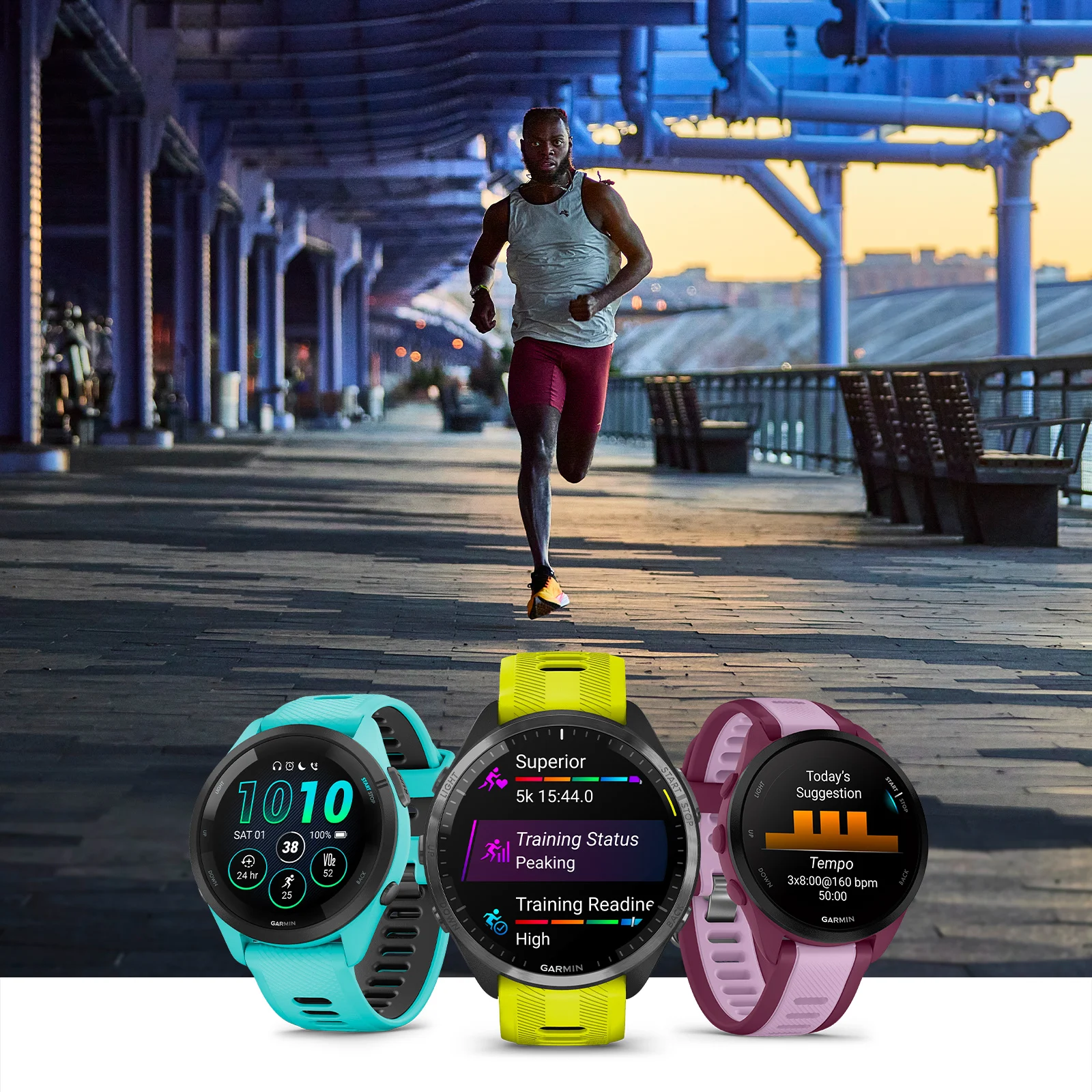
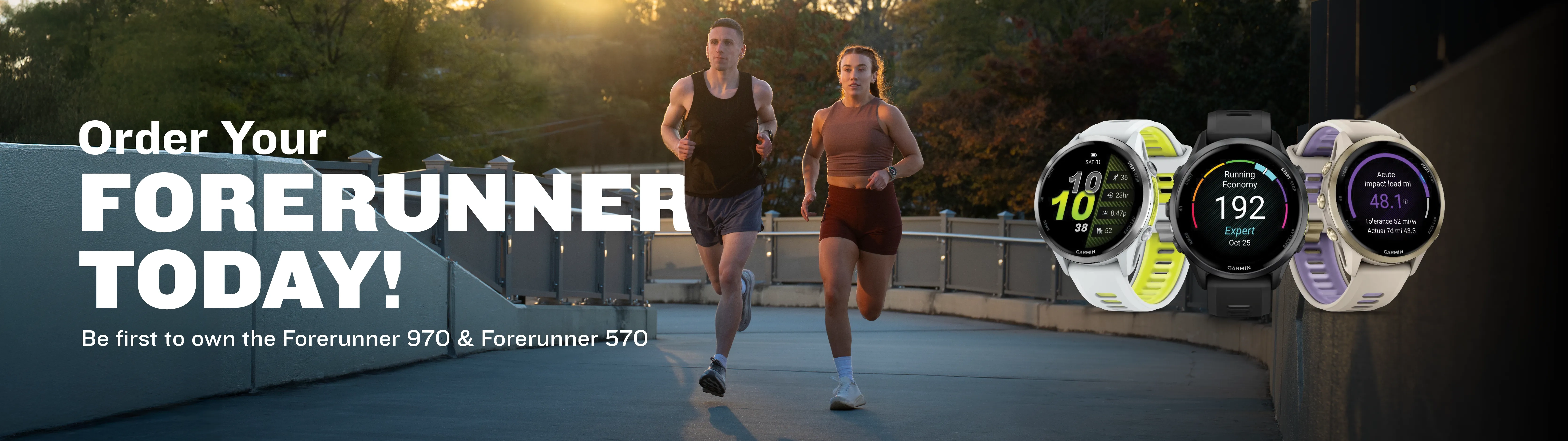
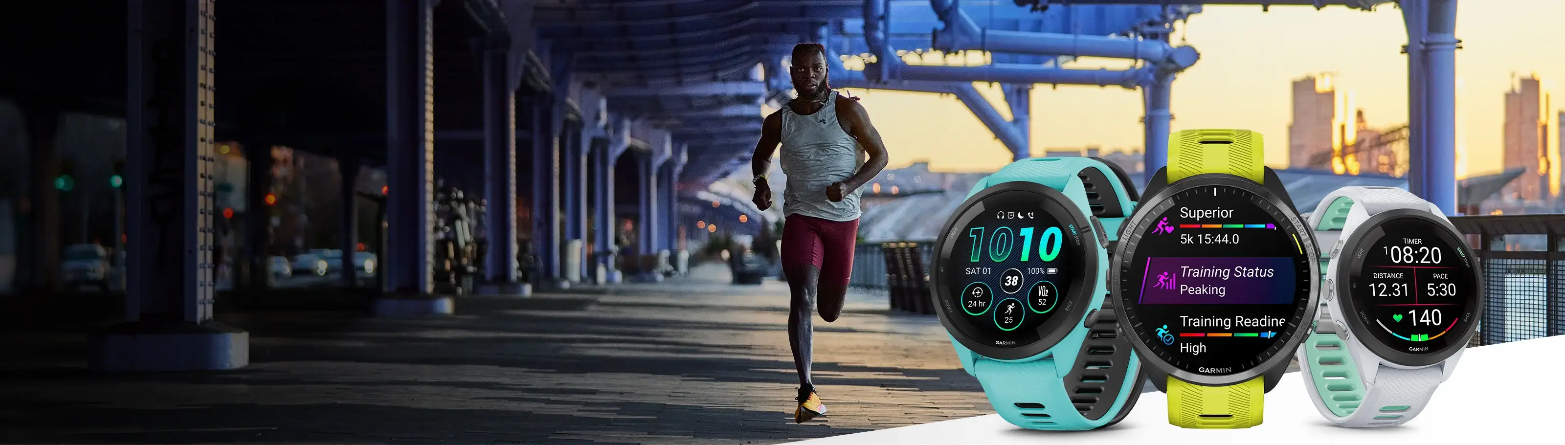
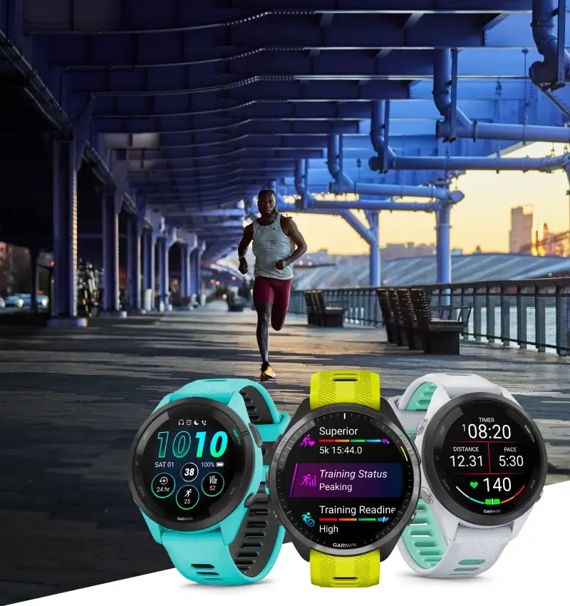
TRAIN BRILLIANTLY WITH FORERUNNER® – OUR BRIGHTEST RUNNING SMARTWATCHES EVER
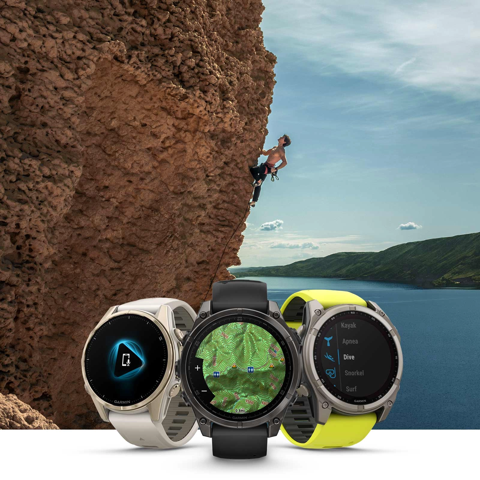
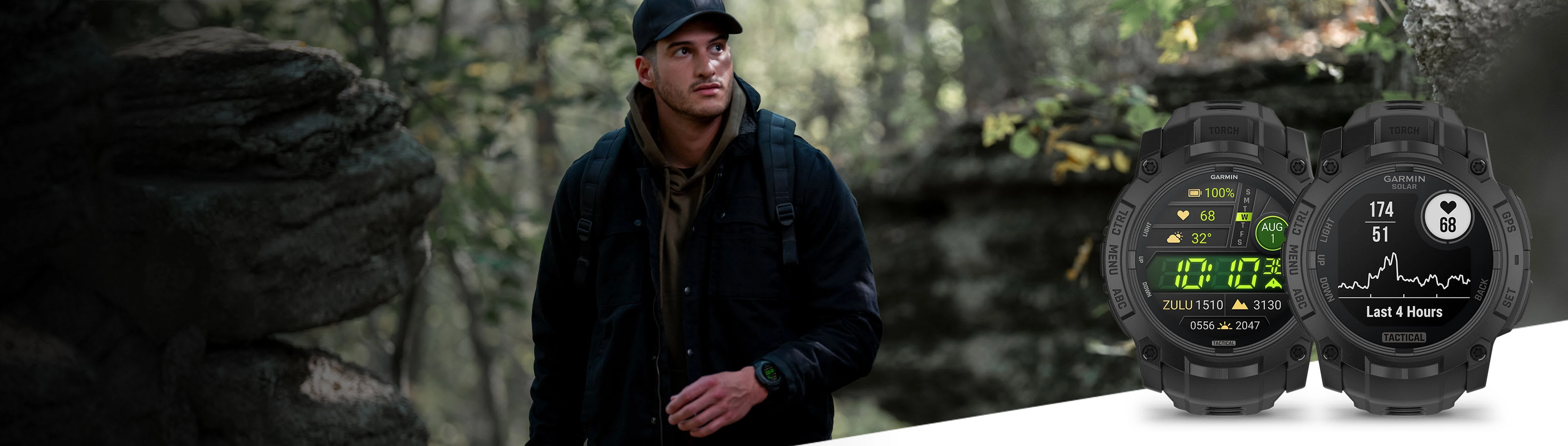
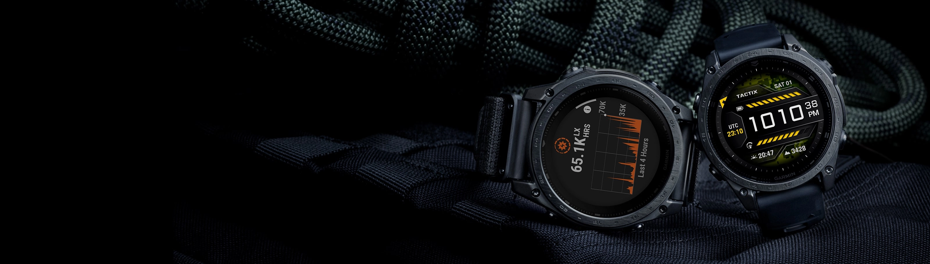
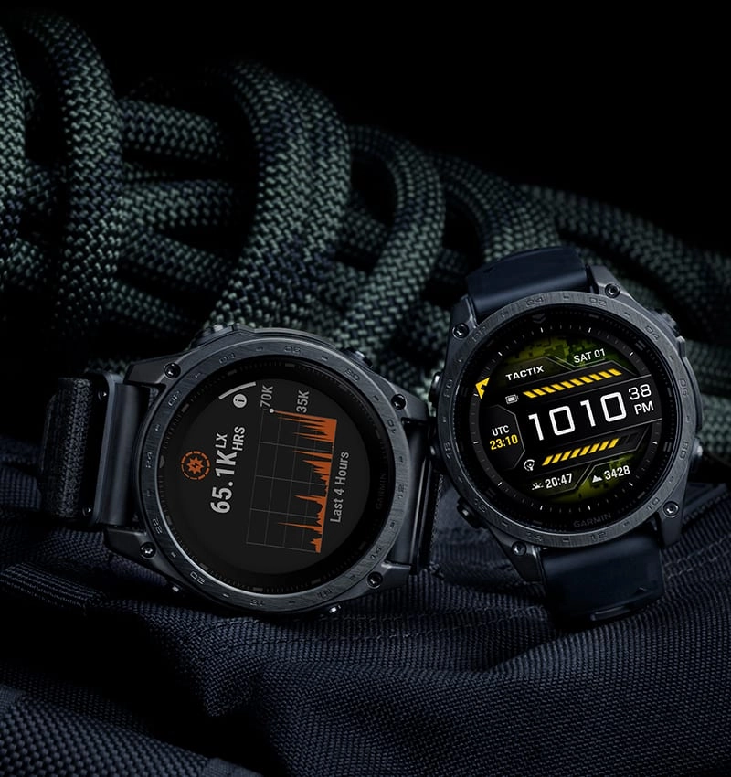
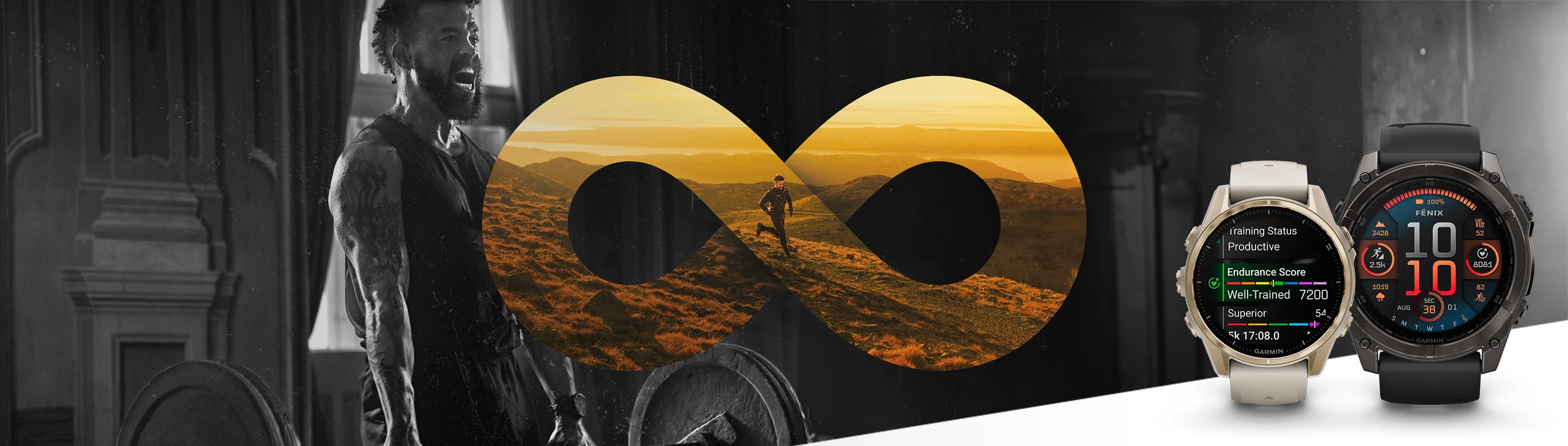
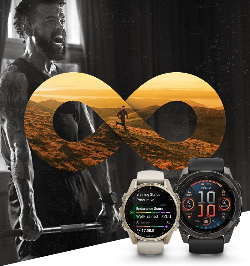
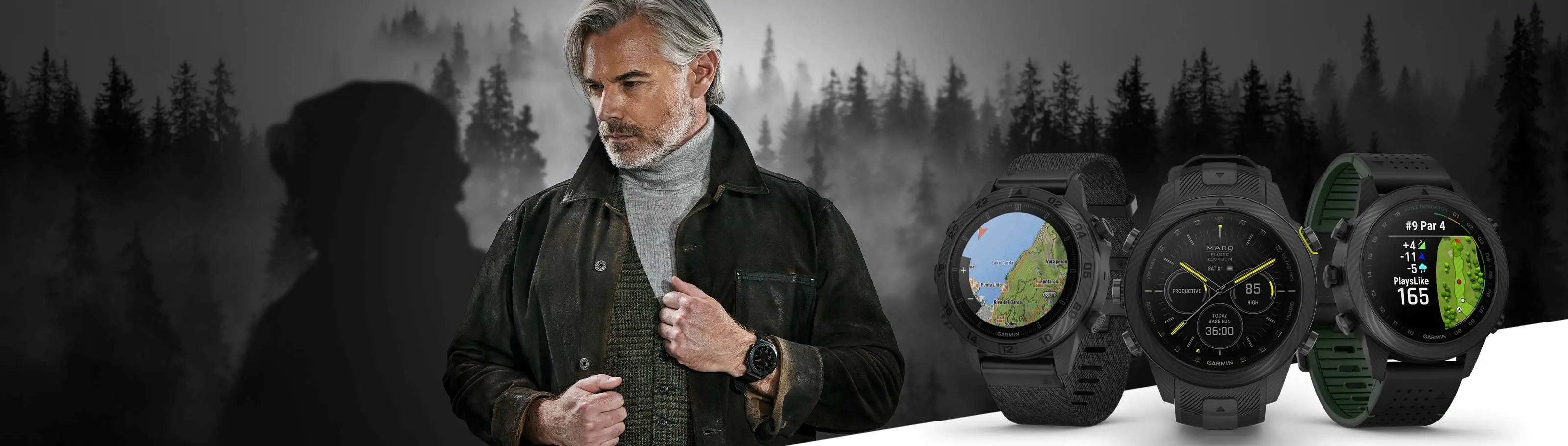
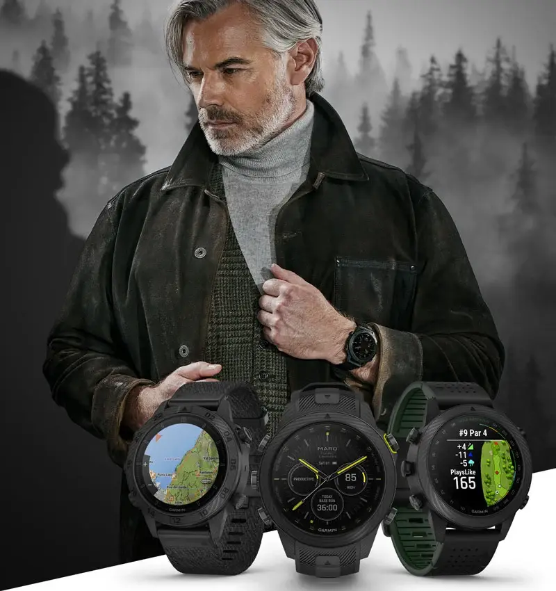
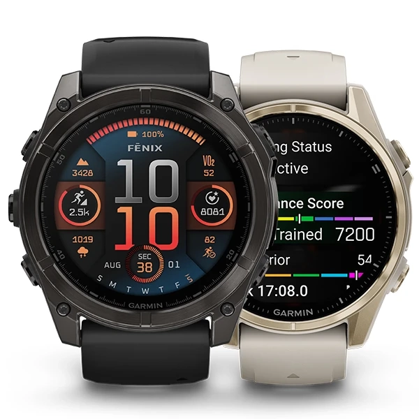
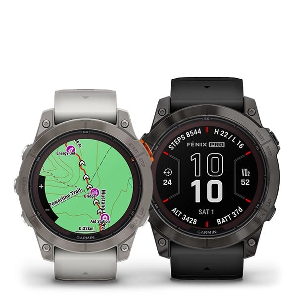
FENIX 8 — THE ULTIMATE SMARTWATCH WITH AN AMOLED DISPLAY OR SOLAR CHARGING LENS, BUILT-IN SPEAKER AND MICROPHONE, AND MORE.


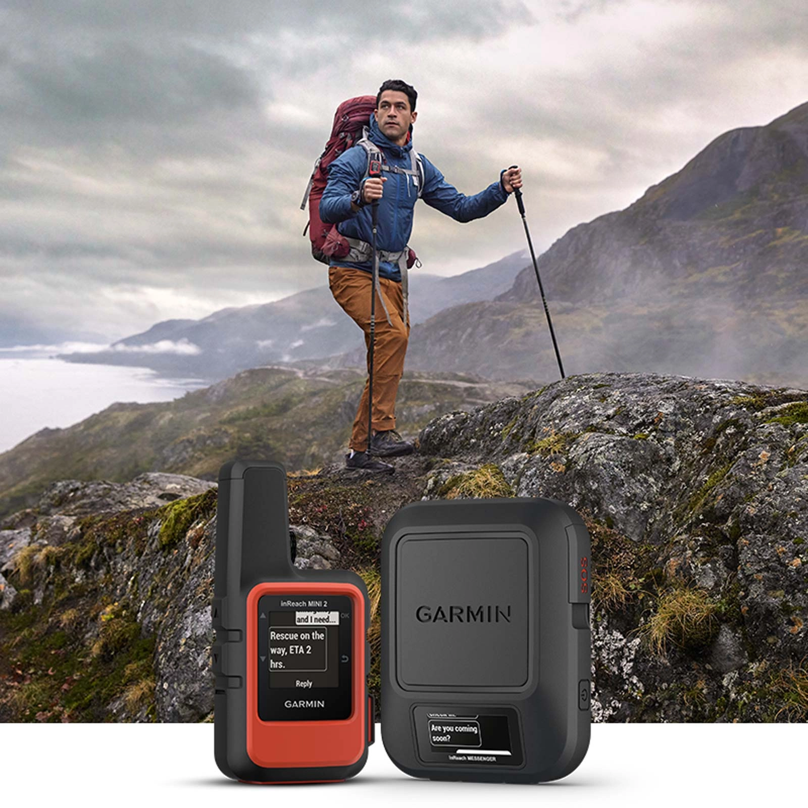
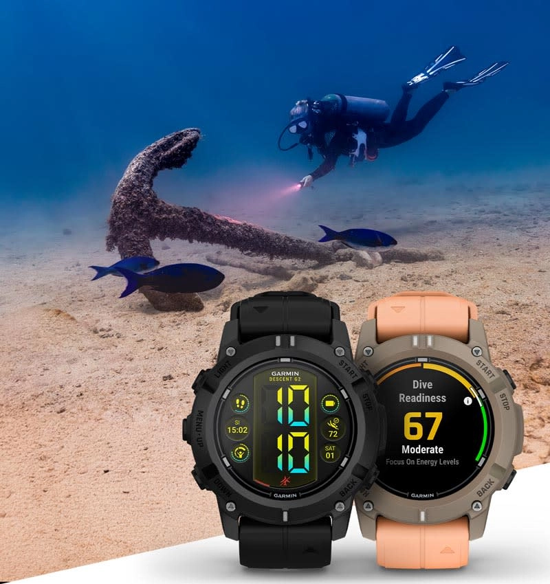
INREACH® SATELLITE COMMUNICATORS — TWO-WAY MESSAGING FROM THE WILDERNESS
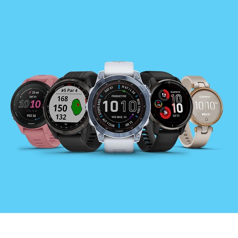
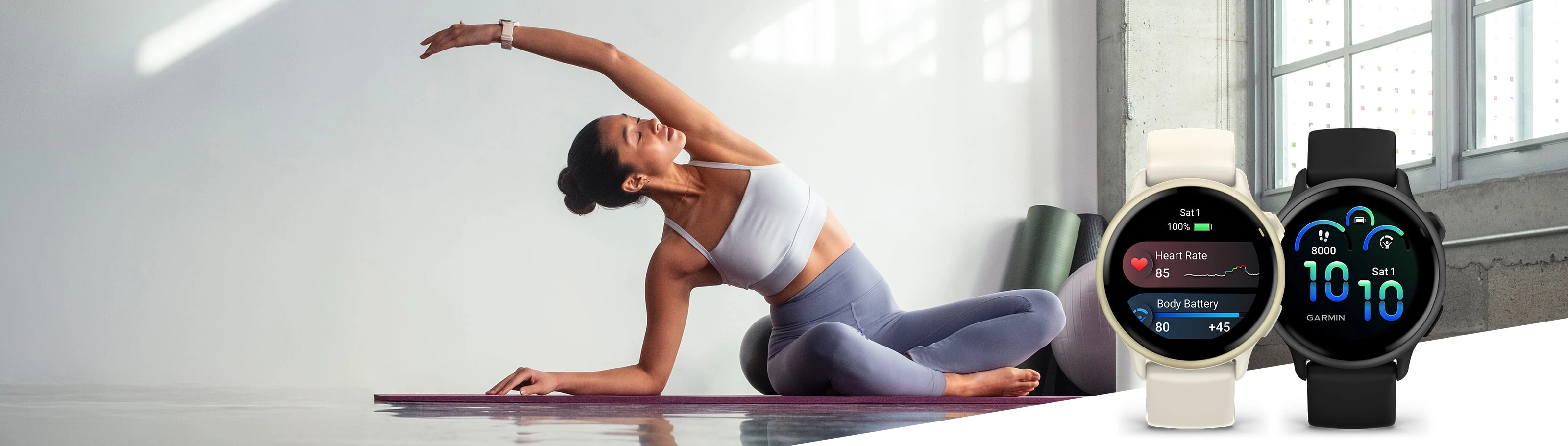
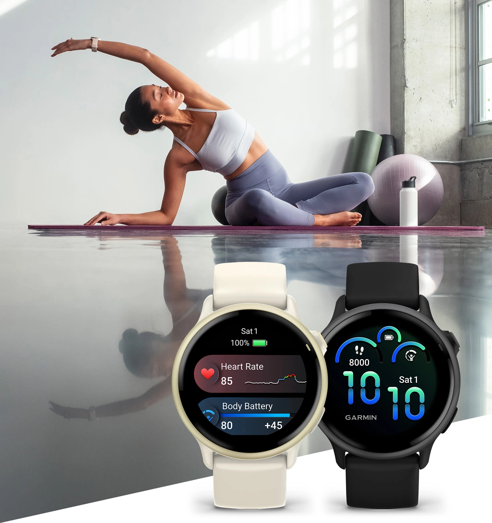
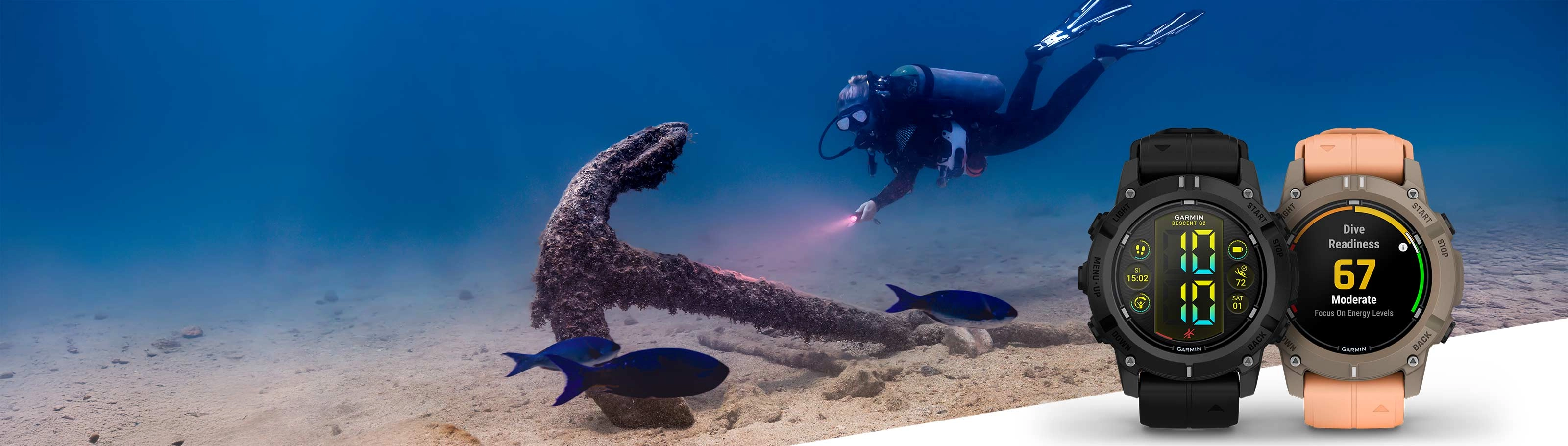
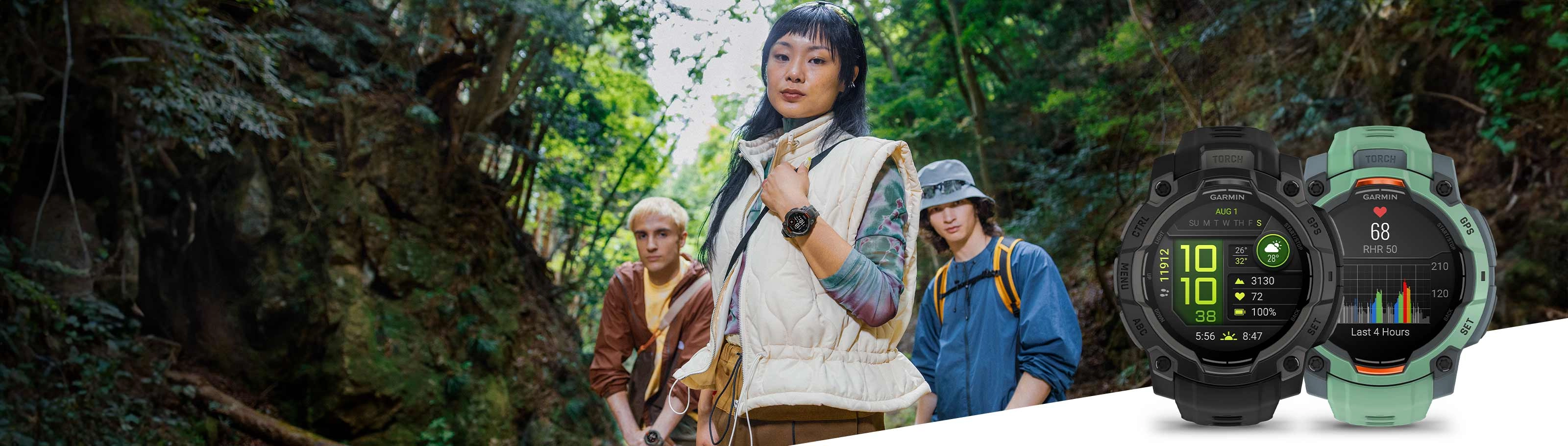
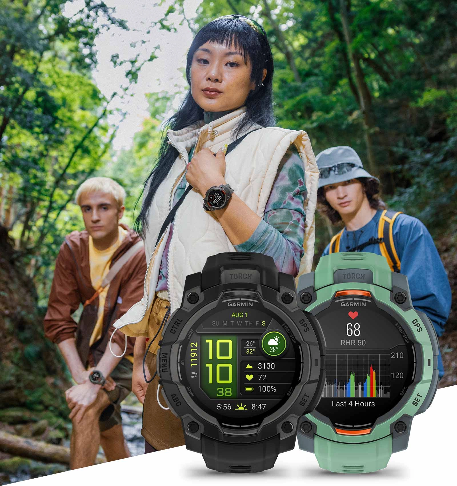
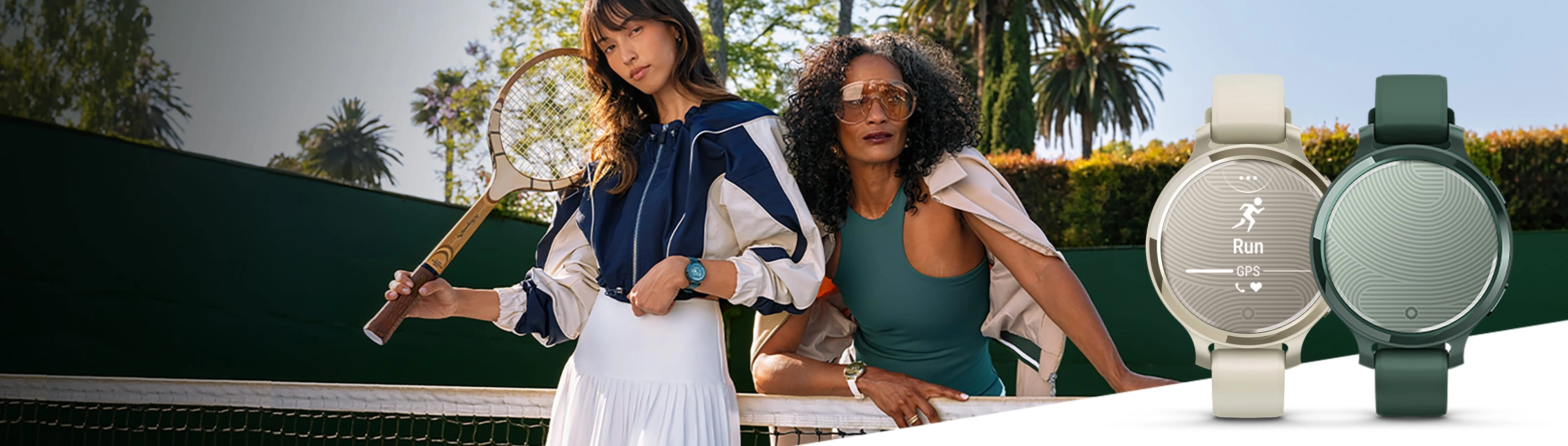
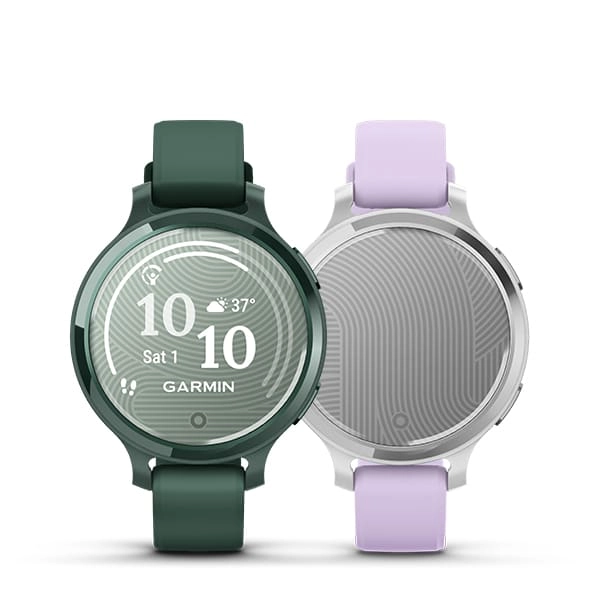
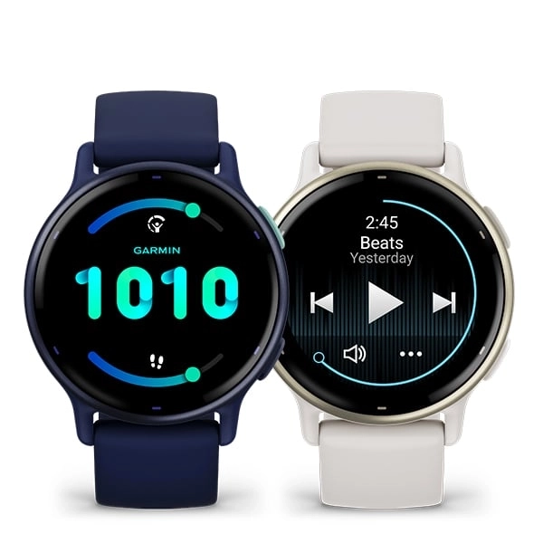
SO YOU WANT A SMARTWATCH? FIND YOUR MATCH.


SIGN UP FOR NEWS FROM AMIT GROUP
Get product news and promotions based on your preferences and registered devices.Learn about email privacy.